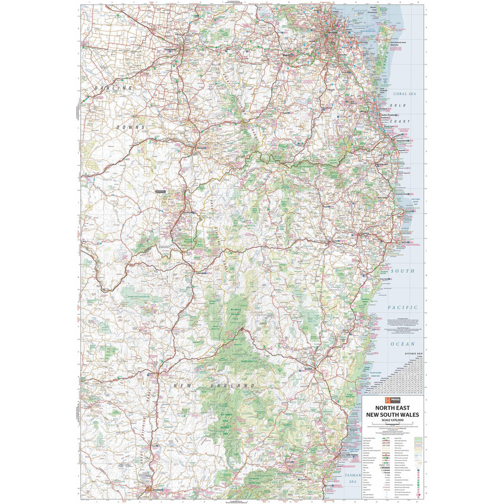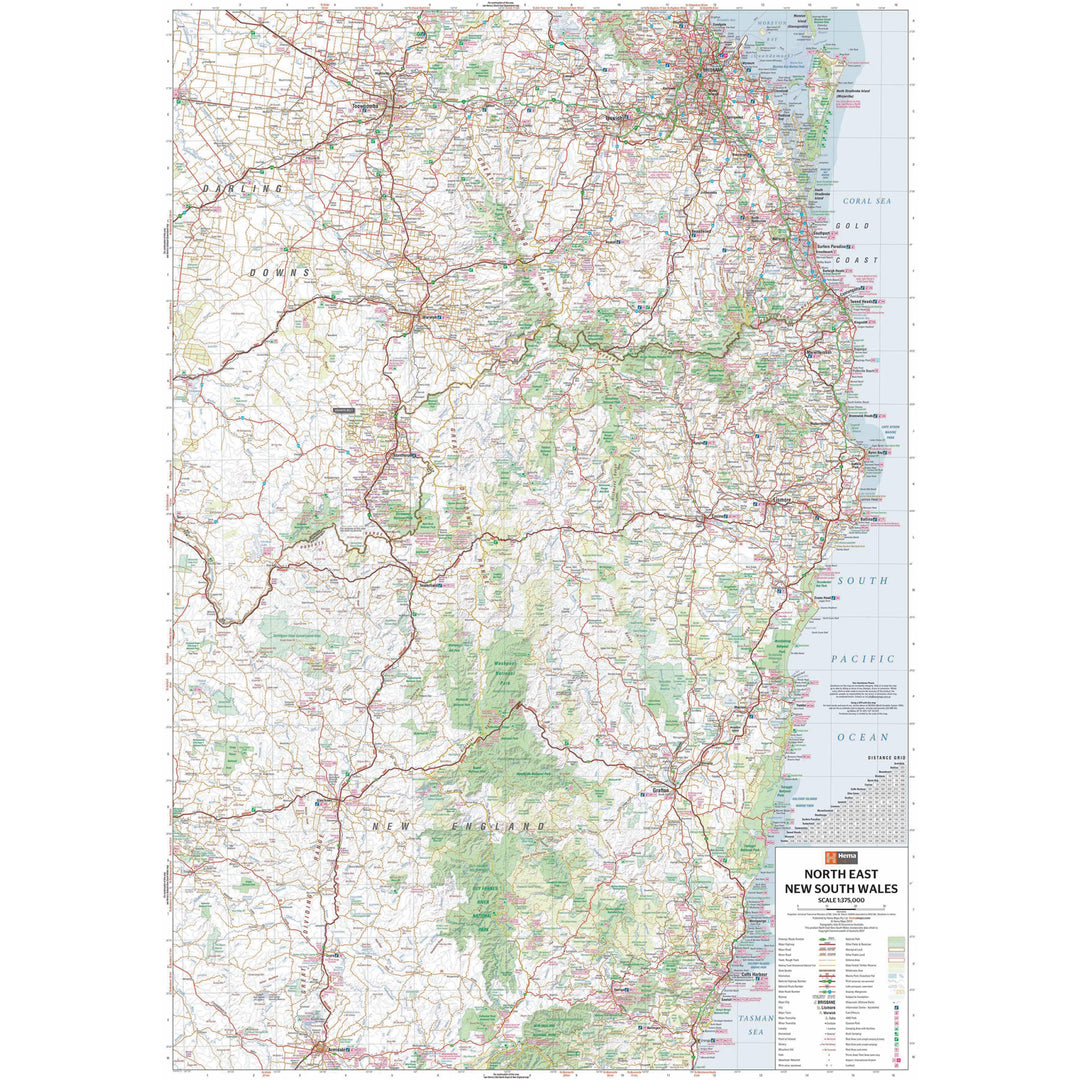


A regional map of North East New South Wales (1:375,000) that is the perfect companion for touring through North East New South Wales (NSW).
The map features information on the major touring routes through the region including the Summerland Way, Bruxner Highway, Waterfall Way and Gwydir Highway, as well as major tourist attractions along both the Pacific Highway and the New England Highway. Also included are listed national parks within the region, contact information and events.

We stock the full Weber BBQ range including the New Premium Weber Q's, the Genesis, Genesis Smart, Spirit Smart, & Spirit II Ranges, the classic Charcoal Kettles, the all new SmokeFire Pellet Barbecues, and a full range of accessories for everything Weber!

One of Australia's biggest camping and outdoor brands, you'll struggle to find a campground or market in Australia without an OZtrail Gazebo in sight! Check out the range of OZtrail gear below including the new Fast Frame tent range, and of course the classic OZtrail 3 metre Gazebo!

We stock a large range of Sea to Summit lightweight gear - everything from Dry Bags and Microfibre towels to Collapsible Bowls and Ultralight Pillows. Their lightweight yet durable products are perfect for any hiker, trekker, camper, tourer or traveller.