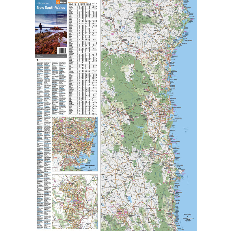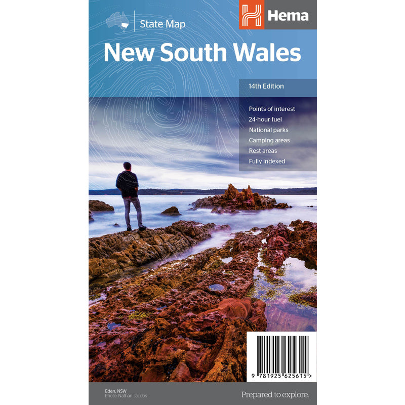


A state map of New South Wales (NSW) at a scale of 1:1,500,000. Marked on the map are national parks, points of interest, 24-hour fuel in addition to camping and rest areas. On the reverse side are CBD maps of Sydney and Canberra, as well as a Sydney regional map, a Sydney throughroads map, and maps of Blue Mountains National Park and the region between Katoomba and Wentworth Falls. There is a full index included, as well as all national park information.

We stock the full Weber BBQ range including the New Premium Weber Q's, the Genesis, Genesis Smart, Spirit Smart, & Spirit II Ranges, the classic Charcoal Kettles, the all new SmokeFire Pellet Barbecues, and a full range of accessories for everything Weber!

One of Australia's biggest camping and outdoor brands, you'll struggle to find a campground or market in Australia without an OZtrail Gazebo in sight! Check out the range of OZtrail gear below including the new Fast Frame tent range, and of course the classic OZtrail 3 metre Gazebo!

We stock a large range of Sea to Summit lightweight gear - everything from Dry Bags and Microfibre towels to Collapsible Bowls and Ultralight Pillows. Their lightweight yet durable products are perfect for any hiker, trekker, camper, tourer or traveller.